How Fog Harvesting Works: Could Britain Collect Water from Mist?
Fog nets can pull drinking water out of thin air, but does damp Britain have anything to gain? How the...


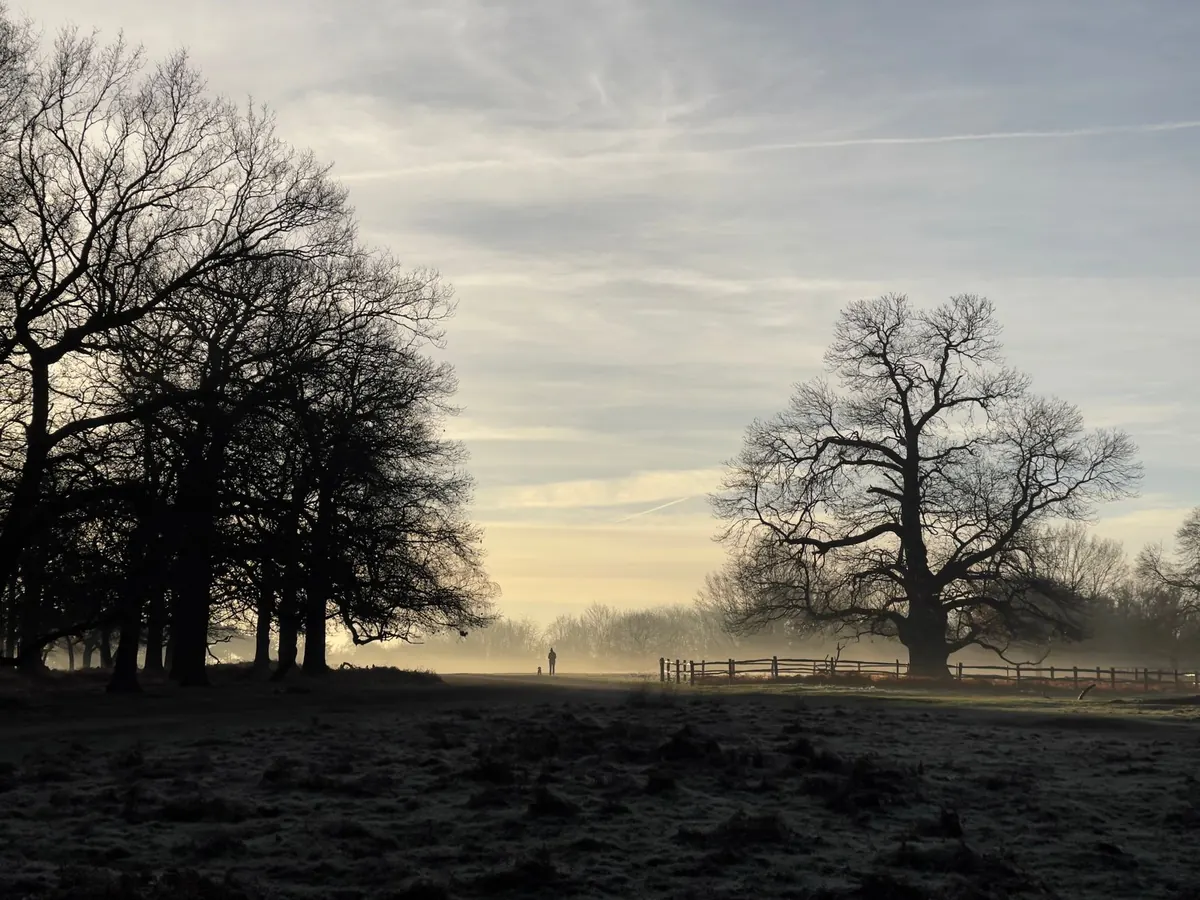
A March morning in the Midlands: the windscreen is opaque, the field beyond the hedge has vanished, and the radio mentions “mist patches”. Nothing dramatic happened overnight. The air simply cooled to the point where it could no longer hold on to its water vapour, and everything it touched collected a thin film of droplets. That threshold has a name — the dew point — and it explains far more about British weather than the humidity percentage on your phone.
Air always carries water, but as an invisible gas, not as a mist or a haze. How much it can carry depends on how warm it is: warm air holds far more vapour than cold air. Relative humidity is simply a comparison — the amount of moisture present against the maximum the air could hold at that temperature.
That comparison moves up and down all day, even when not a single drop of water is added or removed. Cool the air and the percentage climbs; warm it and the percentage falls. A reading of 80% on a chilly morning in Aberdeen and 80% on a sticky afternoon in London describe very different amounts of water. The first is damp, cold air that dries washing slowly. The second is soupy air with a thundercloud somewhere in its future. Same figure, different weather.
The dew point is the temperature to which air must be cooled for its water vapour to begin condensing into droplets, assuming the moisture content and pressure stay the same. It is a direct measure of how much water is in the air, so a dew point of 4°C means the same thing whether it is 6°C or 20°C outside.
One rule is worth remembering above all others: the dew point can never be higher than the air temperature. When the two meet, the air is saturated and relative humidity is 100%. That is the moment cloud, mist or fog appears. Meteorologists watch the gap between them — the spread — because it reveals how close the air is to giving up its water.
You do not need a weather station to watch this happen. Take a cold can out of the fridge on a warm afternoon and within a minute it is beaded with water. The air touching the can has been cooled below its dew point, so the vapour it was carrying becomes droplets. The same process fogs the bathroom mirror after a shower, steams up your glasses when you step inside on a cold day, and coats the inside of single-glazed windows in winter, where warm indoor air meets cold glass.
Grass tells the story too. On a clear, still night, the ground radiates heat away to the sky and cools faster than the air above it. Once the grass is colder than the dew point, dew forms. Nothing has fallen from the sky — the water was already there, all along.
Fog is cloud at ground level, and forecasters define it by visibility rather than by how dramatic it looks. Below 1,000 metres it is fog; the thinner version between roughly 1,000 and 2,000 metres is mist. Either way, you need moisture in the air and cooling that pushes the temperature down to the dew point. In the UK, that usually happens in one of three ways.
The classic autumn and winter fog. Clear skies let heat escape overnight, winds are light enough not to stir the air, and the ground is often damp after rain. The air cools in place, reaches its dew point in the small hours, and fog forms first in valleys, hollows and low-lying fields. It usually thins as the sun warms the ground, though under a strong winter area of high pressure it can sit there for days. Inland spots — the Thames Valley, the Midlands, parts of East Anglia — see far more of it than exposed coasts.
Here the air itself moves. Warm, moist air drifts over a cold surface, typically the North Sea in late spring and early summer, and cools from below. This is the haar that rolls onto the east coast of Scotland and England, and the sea fret that swallows a Northumberland beach on an otherwise bright day. It can arrive at any hour, linger for days, and feel remarkably raw.
Air forced to rise over high ground expands and cools, so the tops of hills can sit inside cloud while the valley below is perfectly clear. Walkers in Snowdonia, the Pennines and the Highlands meet it constantly. It is the reason “misty over the summits” matters more than the temperature in the towns.
If the dew point is above freezing, moisture settles as dew. If it is below zero, vapour turns directly into ice crystals and you get frost — often on grass while the air a metre above the ground stays just above freezing. On a cold, clear night, the dew point is the number to check, not the air temperature alone.
Freezing fog is fog made of droplets that stay liquid below 0°C. They freeze on contact with railings, branches and windscreens, coating everything in rime. It is beautiful and genuinely hazardous, particularly on untreated roads.
Once you start watching the dew point, familiar mornings make sense. The misty hollow, the wet car, the haar rolling in off a cold sea — all of it is the same simple story: air that has been cooled to the point where it can no longer keep hold of its water.
Photo: wal_172619 / Pixabay
Fog nets can pull drinking water out of thin air, but does damp Britain have anything to gain? How the...
Fog is predictable if you plan for it. A practical pre-trip checklist covering visibility forecasts,...
Why do London's autumn mornings turn misty? Clear nights, the Thames valley, urban particles and still air...