How Fog Harvesting Works: Could Britain Collect Water from Mist?
Fog nets can pull drinking water out of thin air, but does damp Britain have anything to gain? How the...


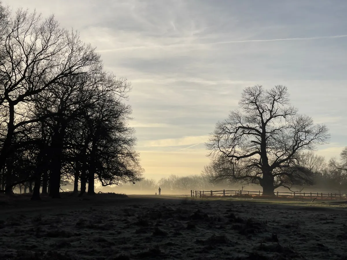
There is a particular kind of morning in the Yorkshire Dales when the valley floor simply vanishes. You can stand on the moor above in bright, cold sunshine and look down at a white lake filling Swaledale, with the tops of a few trees poking through like reeds. Nothing has blown in from the sea. That fog was made on the spot, overnight, out of air that had drained downhill and settled.
Fog is a cloud that has come down to ground level. The air always holds some invisible water vapour, and the amount it can hold depends on how warm it is. Cool the air enough and it reaches the point where it can hold no more; any further cooling turns some of that vapour into tiny droplets. Those droplets are far too light to fall, so they hang there, scattering light and cutting visibility.
Forecasters call it mist when you can see between one and two kilometres, and fog once visibility drops below a kilometre. Either way it is the same process. There is no mystery ingredient and nothing unusual in the air — just cooling, moisture and stillness.
The first thing to understand is that cold air behaves like water. It is denser than warm air, and on a slope it can slide downhill rather than sitting still. After sunset, the ground loses heat quickly by radiation, and the layer of air touching it cools. That chilled air creeps down the hillside in shallow, slow streams, gathering in dips, hollows and valley bottoms.
Meteorologists call this cold air drainage, or katabatic flow. A valley is the perfect trap: the sides feed cold air in from every direction, and there is nowhere for it to go. The result is a pool of cold, damp air sitting in the bottom of the valley with warmer air above it — a temperature inversion. On still, clear mornings you can see the inversion from above, because the hilltops are above the fog and in full sun while the valley below is grey.
This is why a riverside path can be several degrees colder than a ridge two hundred metres above it. It is also why the lowest point of any hollow is the most likely place for frost, and for fog, while the slopes just above stay clear.
Cooling only produces fog if the air is pushed down to its dew point — the temperature at which it becomes saturated. That is why the conditions around the cooling matter so much.
Put those together and you get classic radiation fog: formed at night over land, thickest around dawn, sitting in the lowest ground. Valley fog is simply radiation fog with a helpful landscape underneath it.
Not every valley fills. The deciding factors are shape, shelter and wetness. Deep, narrow valleys with high sides and little wind are the champions; broad, open valleys leak their cold air away. A reservoir, a slow river or heavy clay soil gives the air extra moisture to work with. Snow lying on the ground cools the air above it very effectively.
You also get small-scale versions of the same thing: a shallow dip in a hillside, a hollow by a farm bridge, a cutting on a country lane. These frost hollows can hold fog and frost for hours after everything around them has cleared. Some well-known foggy spots in Britain — the Wye Valley, the Nant Ffrancon pass in Snowdonia, parts of the Peak District and the Cumbrian valleys — are simply places where all these ingredients line up. Historically, town fog was made worse by coal smoke, which supplied extra particles for droplets to form on, giving the old pea-soupers their yellow colour.
You can often call a foggy morning the evening before. Look for these:
If most of those are true, plan for a slow start. Fog usually thickens until just after sunrise and then begins to lift as the sun warms the ground, though in a deep valley in midwinter it can hang on well into the afternoon. Sometimes it thins from the top down, leaving a low grey blanket; sometimes the inversion breaks and the whole valley clears in twenty minutes.
The best trick is to walk out of it. If fog is pooled in the valley, gaining height will often take you above the inversion and into bright, still sunshine. It feels like walking up through a ceiling.
If you are staying low, treat the fog as seriously as you would bad weather on a summit. Carry a paper map and compass and know how to use them; phone batteries dislike the cold, and a screen is no substitute for a bearing. Path junctions, stiles and gates go missing in poor visibility, so keep a running count of what you have passed and pace out distances. A torch helps more than you would expect, because fog scatters bright light and dulls contrast.
Take extra care near roads. Drivers see very little in valley fog, especially at bends and in dips, so wear something visible and keep to the correct side of the road. Add a spare layer, too — damp cold air chills you faster than dry cold. If you have asthma or another lung condition, cold, damp air can be uncomfortable, so speak to your GP or pharmacist if you are unsure how much to take on.
Valley fog is cold air that drained downhill overnight and cooled to its dew point. It needs clear skies, a long night, damp ground and light winds, and it settles in the lowest ground. Expect it thickest around dawn in autumn and winter, expect hilltops to be clear above it, and expect it to lift as the day warms. Check the forecast, take a map, dress for damp cold, and if you want the sunshine, walk uphill until you find it.
Photo: Quang Nguyen Vinh / Pexels
Fog nets can pull drinking water out of thin air, but does damp Britain have anything to gain? How the...
Fog is predictable if you plan for it. A practical pre-trip checklist covering visibility forecasts,...
Why do London's autumn mornings turn misty? Clear nights, the Thames valley, urban particles and still air...